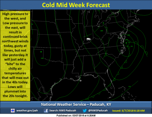
A cold air mass will lock into the Heartland, and produce Highs in the 40s, and Lows in the 20s, for the next couple days. Don’t be surprised if you see an occasional light snow flurry, especially during the late night or early morning hours. (NWS Paducah)
SEVEN DAY FORECAST
Tonight
A chance of flurries. Mostly cloudy, with a low around 26. West northwest wind 6 to 8 mph.
Thursday
Mostly sunny, with a high near 42. West northwest wind 7 to 14 mph, with gusts as high as 22 mph.
Thursday Night
Increasing clouds, with a low around 25. West northwest wind around 6 mph becoming calm in the evening.
Friday
Mostly cloudy, with a high near 49. South southeast wind 3 to 7 mph.
Friday Night
A 50 percent chance of rain. Mostly cloudy, with a low around 36. East wind around 7 mph.
Saturday
Mostly cloudy, with a high near 54. East wind around 8 mph.
Saturday Night
A chance of showers. Mostly cloudy, with a low around 37. Northeast wind 7 to 10 mph.
Sunday
A chance of showers, mainly before noon. Partly sunny, with a high near 49. North wind around 11 mph.
Sunday Night
Mostly cloudy, with a low around 32. North wind around 10 mph.
Monday
Mostly sunny, with a high near 47. North northwest wind 9 to 13 mph, with gusts as high as 21 mph.
Monday Night
Mostly clear, with a low around 30. North northwest wind 7 to 10 mph.
Tuesday
Sunny, with a high near 47. North northwest wind 7 to 9 mph.


Speak Your Mind
You must be logged in to post a comment.