Here is the latest hazardous weather outlook from the National Weather Service:
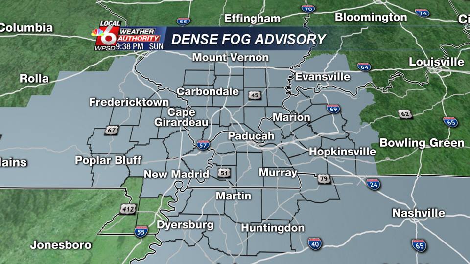
.DAY ONE…TODAY AND TONIGHT AREAS OF DRIZZLE AND DENSE FOG ARE FORECAST TO SPREAD NORTHWARD ACROSS THE AREA TONIGHT AND CONTINUE THROUGH MID MORNING MONDAY. THE FOG WILL REDUCE VISIBILITIES TO LESS THAN ONE QUARTER MILE IN AREAS. PLEASE REFER TO THE DENSE FOG ADVISORY FOR MORE DETAILS. .DAYS TWO THROUGH SEVEN…MONDAY THROUGH SATURDAY A CHANCE OF THUNDERSTORMS IS FORECAST…MAINLY MONDAY INTO MONDAY EVENING. AN ISOLATED STRONG OR SEVERE STORM CANNOT BE RULED OUT. DAMAGING WIND GUSTS AND LOCALLY HEAVY RAIN WILL BE THE PRIMARY THUNDERSTORM HAZARDS.
The Storm Perdiction center’s latest update shows a mariginal risk for severe weather from about I 24 south.
There is a slight chance of snow showers on Thursday. Models are all over the place on this.
The website will always keep you informed of severe weather events in real time if possible.
sd


Speak Your Mind
You must be logged in to post a comment.