by Steve Dunford
Other than a swiftly moving line of storms that extends from a Piopolis to Albion line, there is a clean sweep on radar in Southern Illinois now.
The severe threat has been backed down by the Storm Prediction Center to a marginal risk. The line of storms that came through around 10:00 a.m. this morning helped stabilize the atmosphere.
There is still a 60% chance of showers and thunderstorms this evening, which is supposed to arrive in Franklin County by 10:00 to 11:00 p.m.
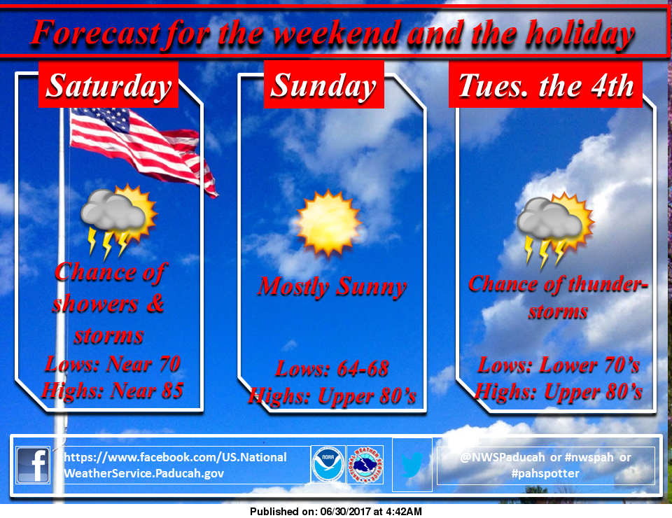
There is a 20% chance of storms on Saturday morning. Saturday night into Sunday is supposed to be very nice with lower humidity.
The next chance for storms will be Monday night all the way into Thursday. Unless the Storm Prediction Center issues a severe threat before then, I will not give another update until Monday morning.
Here is the latest hazardous weather outlook from the National Weather Service of Paducah, KY.
.DAY ONE…This Afternoon and Tonight
Scattered thunderstorms will be possible. The highest chance of
stronger to isolated severe storms will be along the Wash River
Valley into southwest Indiana and northwest Kentucky. Gusty
thunderstorm winds, hail and torrential downpours will be the
main concerns.
.DAYS TWO THROUGH SEVEN…Saturday through Thursday
Scattered thunderstorms will be possible Saturday, mainly over
western Kentucky and southwest Indiana. Severe storms are not
anticipated.
There is a chance of thunderstorms again from Monday through
Thursday. There may be isolated strong storms, along with locally
heavy rainfall.


Speak Your Mind
You must be logged in to post a comment.