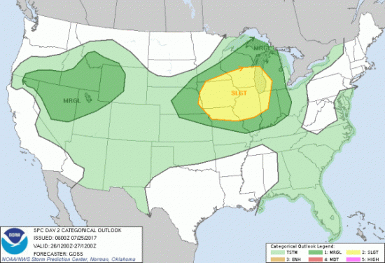
Tomorrow Southern Illinois is under a marginal (level 1 of 5) risk of severe weather. We are placed under one for Thursday as well. (Storm Prediction Center, Norman OK)
The Special Weather Statement about the rising heat and humidity issued by the National Weather Service in Paducah has not been changed. Here is a link to it. Below, is the seven day forecast for Franklin County.
Detailed Forecast
weather.gov
Tuesday
Mostly sunny, with a high near 88. East wind 5 to 7 mph.
Tuesday Night
Mostly clear, with a low around 73. East wind 3 to 6 mph.
Wednesday
Mostly sunny, with a high near 94. Light and variable wind becoming south southwest around 6 mph in the morning.
Wednesday Night
A 20 percent chance of showers and thunderstorms after 1am. Partly cloudy, with a low around 76. South southwest wind 3 to 6 mph.
Thursday
A 40 percent chance of showers and thunderstorms, mainly after 1pm. Partly sunny, with a high near 89. West wind 6 to 8 mph.
Thursday Night
A 50 percent chance of showers and thunderstorms. Mostly cloudy, with a low around 69. West northwest wind around 5 mph becoming light and variable.
Friday
Mostly sunny, with a high near 83. North northeast wind 5 to 8 mph.
Friday Night
Partly cloudy, with a low around 64. North northeast wind around 7 mph.
Saturday
Sunny, with a high near 82. North northeast wind 6 to 8 mph.
Saturday Night
Mostly clear, with a low around 61. North northeast wind 3 to 7 mph.
Sunday
Sunny, with a high near 84. North northeast wind around 6 mph.
Sunday Night
Mostly clear, with a low around 64. North northeast wind 3 to 6 mph.
Monday
Sunny, with a high near 86. Northeast wind 3 to 6 mph.


Speak Your Mind
You must be logged in to post a comment.